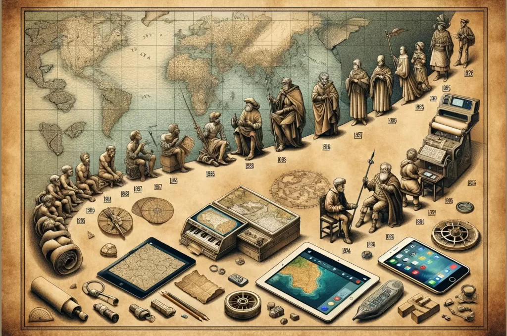
In the extended tapestry of human history, mapping has served as a fundamental tool for understanding and navigating the world around us. From ancient clay tablets to modern digital cartography, mapping reflects our insatiable curiosity and quest for knowledge. Let's take a journey through time to uncover the rich history and the impact of mapping technology.
Table of Contents
The Origins of Mapping
Early Cartography:
Dating back to approximately 2300 BC, the earliest known maps were etched onto clay tablets in Babylonia, laying the groundwork for formalized mapping practices known as Cartography. The Greeks further advanced cartography, demonstrating an understanding of the Earth's spherical nature as early as 350 BC.
The Age of Exploration:
The Renaissance era witnessed a resurgence in mapping spurred by the voyages of explorers like Christopher Columbus. Innovations such as the printing press, invented by Johannes Gutenberg in 1456, revolutionized map distribution, making maps more accessible to the masses.
Mapping Innovations Through the Ages
The Mercator Projection:
In the 16th century, Belgian cartographer Gerardus Mercator introduced the cylindrical projection method, enabling the creation of world maps that preserved shape and direction. This innovative technique paved the way for modern cartography and navigation.
Scientific Advancements:
The Enlightenment era saw significant strides in mapping accuracy, driven by advancements in science and technology. Mapping became indispensable for military, scientific, and diplomatic purposes, shaping the course of history.
The Digital Revolution in Mapping
Introduction of GIS:
The Geographic Information Systems (GIS) of the 1970s and 1980s greatly expanded our capacity for map-making with the collection of information in a database, proper analysis and visualisation of updated maps and spatial data. It is this type of electronically held information that makes online mapping available today via computers.
The Importance of Online Mapping
Mapping in Modern Society
In today's hyper-connected world, online maps have become indispensable tools for both personal and professional use. According to Pew Internet, 87% of internet users rely on online maps for navigation and directions, highlighting their widespread adoption.
Convenience and Accuracy
One of the key attractions of online mapping is its convenience and accuracy. With the integration of Geographic Positioning Systems (GPS), users can access real-time navigation and route planning, ensuring timely and efficient travel.
Current Top Mapping Apps and Software
- Google Maps: Manufacturer – Google, Model – Google Maps
Why: Widely regarded for its comprehensive coverage, real-time updates, and user-friendly interface, Google Maps is a go-to choice for navigation and exploration. - Waze: Manufacturer – Waze Inc., Model – Waze
Why: Known for its community-driven features, Waze offers crowd-sourced traffic information, accident alerts, and alternate routes to help users navigate efficiently. - ArcGIS: Manufacturer – Esri, Model – ArcGIS Online
Why: Designed for professionals, ArcGIS provides powerful mapping and spatial analysis tools for a wide range of industries, including urban planning, environmental management, and public safety. - Mapbox: Manufacturer – Mapbox, Model – Mapbox Studio
Why: Mapbox offers customizable mapping solutions with high-quality vector tiles and geospatial data, making it ideal for developers and businesses seeking tailored mapping solutions.
Future of Mapping:
As technology continues to advance, the future of mapping holds exciting possibilities. From augmented reality navigation to advanced spatial analysis, the advancement of mapping technology promises to further enrich our understanding of the world.
Citations
Further information for discovering more information on the evolution of cartography in the digital age.
University of Chicago Press “The Map and the Development of the History of Cartography” https://press.uchicago.edu/books/HOC/HOC_V1/HOC_VOLUME1_chapter1.pdf
University Consortium for Geographic Information Science “The Evolution of Cartography in the Digital Age: From Digitizing Vertices to Intelligent Maps” https://www.ucgis.org/assets/docs/Symposia/Usery_Varanka_Evolution.pdf


